
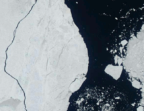
We were tasked with counting and measuring the waterline dimensions of icebergs in the Greenland Sea.

Using Django, Mapserver and PostGIS, we built a web based digitizing system that allowed interpreters working remotely to digitize and classify icebergs in hundreds of satellite images.

This approach resulted in the observation of over 40,000 icebergs and old ice features for a twelve year period.
In some cases, repeat imagery was acquired over a fairly short timeframe, allowing drift velocity measurements. Longer term drift analysis was used to identify grounded icebergs, which can occur in water depths up to 200m.

Higher resolution stereo Alos imagery allowed us to measure the freeboard portion of some bergs, leading to estimates of overall volume.

Click here to return to the GeoAnalytic main page. Click here to see more of our project work.